Up Ron & Marjolijn's holiday pictures » 2011-03 Vietnam » 07-Hoi An Prev Next Slideshow

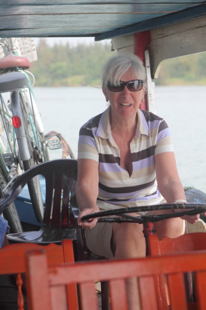
 Previous image  Next image  Index page  Original Image [24-Marjolijn is steering the boat.jpg - 596kB]
12-This is the way they use mopeds for transport
13-The beach
14-Entrance memorial museum My Lai
15-Memorial monument
16-The story of My Lai
17-Bonsai trees
18-Marjolijn enjoying the sun
19-A lot of ducks, used to clean the rice fields
20-The boat that we sail on the river
21-Hoi An river side
22-Hoi An river side, a ferry
23-Oncoming transport
  24-Marjolijn is steering the boat.jpg - Marjolijn is steering the boat  
25-Ron also tries
26-Fishing nets
27-Fishing net with heron
28-Fishing port
29-Small fishing boat
30-Street in Cam Thanh
31-Drying leaves of the water palm
32-Plowing and cleaning a fish pond
33-Cementery
34-Bathing buffaloes
35-Biking through the country-side
36-Japanese bridge

Marjolijn is steering the boat Download Original Image
Latitude: N 15°52'15,65" | Longitude: E 108°21'15,22" | Altitude: 3 metres | Location: Thanh Dong (1) | City: Hoi An | State/Province: Quang Nam | Country: Vietnam | Copyright: Ron Harkink | See map
Total images: 53 | Help